
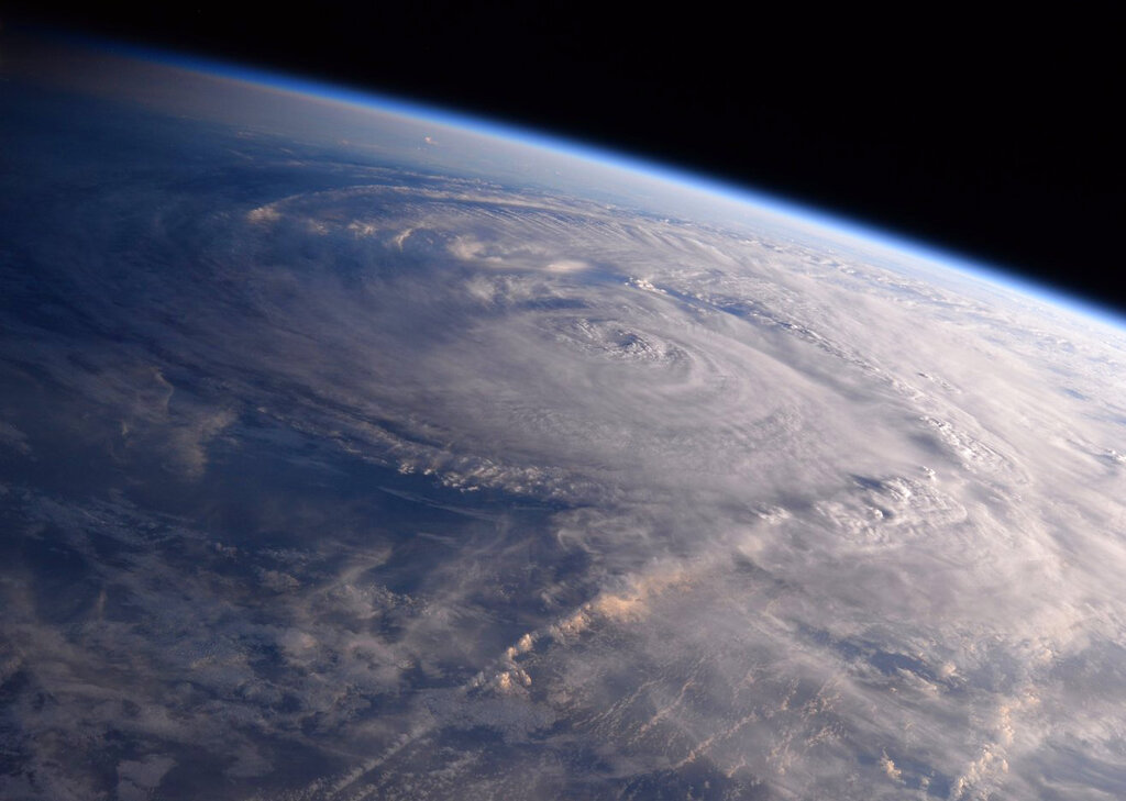
What was the first hurricane in the Eastern Pacific, Agatha, is passing over into the Atlantic Basin, and could redevelop in the next several days. If the disturbance reaches tropical status, it would become the Atlantic's first storm of the hurricane season, named Alex.
Regardless of development, locally heavy rainfall is likely across portions of South Florida, and the Florida Keys on Friday and Saturday.
So it's time to batten down the hatches for another nasty hurricane season.
Nearly every natural force and a bunch of human-caused ones — more than just climate change — have turned the last several Atlantic hurricane seasons into deadly and expensive whoppers. The season that just began looks like another note in a record-breaking refrain because all those ingredients for disaster are still going strong, experts warn.
They say these factors point to but don’t quite promise more trouble ahead: the natural climate event La Nina, climate change, warmer ocean waters, the Gulf of Mexico's deep hot Loop Current, increased storminess in Africa, cleaner skies, a multi-decade active storm cycle and massive development of property along the coast.
“It’s everything and the kitchen sink,” Colorado State University hurricane researcher Phil Klotzbach said.
In the past two years, forecasters ran out of names for storms. It’s been a costly rogue’s gallery of major hurricanes — with winds of at least 111 mph striking land in the past five years: Harvey, Irma, Maria, Florence, Michael, Dorian, Humberto, Laura, Teddy, Delta, Zeta, Eta, Iota, Grace and Ida.
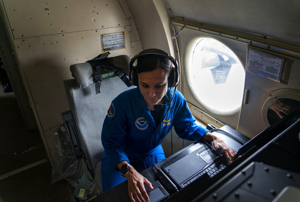
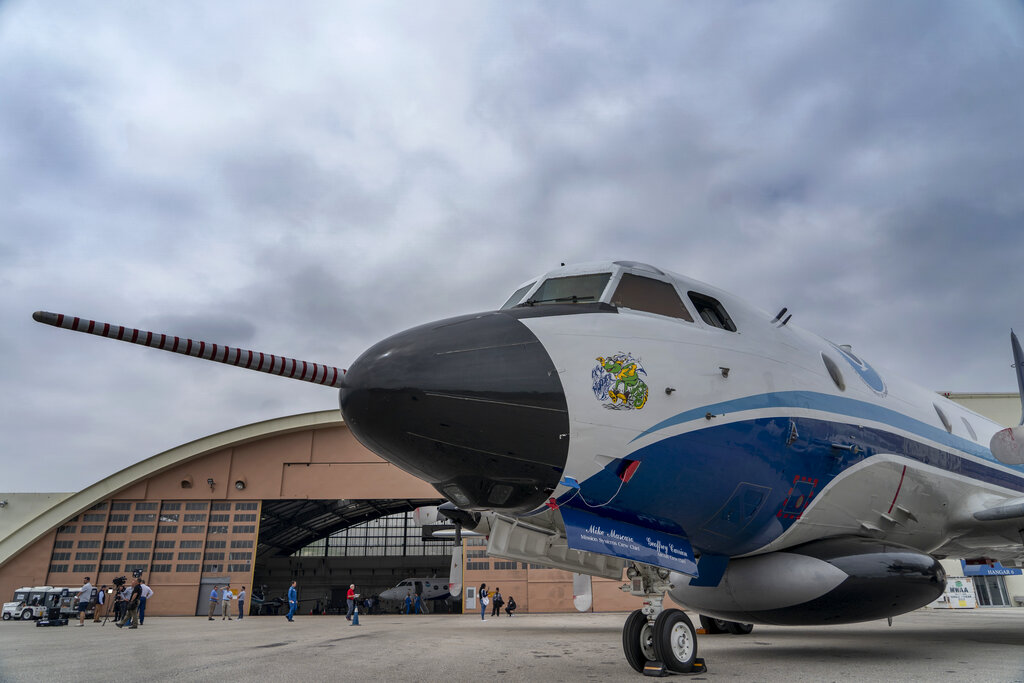
“That’s the pattern that we’ve been locked into. And what a statistic to think about: From 2017 to 2021, more Category four and five (hurricanes) made U.S. landfall than from 1963 to 2016,” National Hurricane Center Director Ken Graham said in an Associated Press interview in front of two hurricane-hunter planes that fly into the storms.
Graham, echoing most experts and every pre-season forecast, said “we’ve got another busy one” coming. Last year, the Atlantic set a record for six above average hurricane seasons in a row, smashing the old record of three in a row, and forecasters predict a seventh.
The only contrary sign is that for the first time since 2014, a storm didn’t form before the official June 1 start of the hurricane season, but forecasters are watching the Eastern Pacific’s record-setting Hurricane Agatha that looks likely to cross over land and reform as Alex in the Gulf of Mexico later this week.
Here’s what may make the Atlantic chaotic this season:
LA NINA
One of the biggest influences on Atlantic hurricane seasons occurs half a world away in the temporarily cooling waters of the equatorial Pacific, the natural cyclical phenomenon called La Nina, the more dangerous for the United States flip side to El Nino.
La Nina alters weather across the world, including making hurricane development in the Atlantic more likely. It starts with the Sahel region of Africa, where the seeds of the many of the strongest mid-season hurricanes, called Cape Verde storms, form. That often dry region is wet and stormy in La Nina and that helps with early formation.
One weather feature that can decapitate storms or prevent them from forming in the first place is high cross winds called shear. But La Nina pretty much deadens shear, which is “a huge factor” for more storm activity, University of Albany hurricane researcher Kristen Corbosiero said.
CLIMATE CHANGE
Studies show that climate change is making hurricanes wetter, because warm air can hold more moisture, and are making the strongest storms a bit stronger. Storms also may be stalling more, allowing them to drop more rain over the same place, like in 2017’s Harvey, where more than 50 inches fell in one spot. They are also rapidly intensifying more often, experts say.
While studies point to an increasing number of the strongest storms because of climate change, scientists still disagree over what that means for the overall frequency of all storms. Some scientists see a slight decrease because of fewer weaker storms, but others, such as MIT hurricane researcher Kerry Emanuel, see an overall increase in the total number of storms.
WARMER WATER
Warm water acts as fuel for hurricanes. Storms can’t form until waters hit 79 degrees and the deeper the warm water reaches, and the higher its temperature, the more the hurricane has to feed on.
And because of climate change and natural weather variables, the water in much of the Atlantic, Caribbean and Gulf of Mexico is warm and inviting for storms, University of Miami hurricane researcher Brian McNoldy said. In the key storm formation area, waters are about half a degree warmer than last year at this time of year, according to National Oceanic and Atmospheric Administration hurricane seasonal forecaster Matthew Rosencrans.
LOOP CURRENT
In the Gulf of Mexico there’s a normal phenomenon called the Loop Current, where warm water runs extremely deep. That’s important because usually hurricanes bring up cold deep water when they go over warm water and that limits their strengthening. But the Loop Current often turbo-charges storms and it sheds eddies of warm deep water all over the Gulf for storm intensification.
This year the loop current seems especially strong, northward and worrisome, Emanuel and other experts said. They compared it to the Loop Current that intensified Camille in 1969, Katrina in 2005 and Ida last year.
On Monday the Loop Current was 1.8 degrees warmer than normal, McNoldy said.
CLEANER AIR
Traditional air pollution from factories and cars — the dirty air of smog and small particles — reflects sunlight and cools the atmosphere, scientists say. That cooling effect from air pollution probably helped decrease the number of storms in the 1970s and 1980s, which was a quiet period in the Atlantic.
But since Europe and the United States cleaned up much of their air pollution, the Atlantic has gotten stormier during hurricane season, while just the opposite is happening in Asia where air pollution is increasing, a new study said. Experts said the decrease in air pollution and increase in Atlantic storms is likely a permanent condition now.
LONGER TERM CYCLES
Hurricane researchers have noticed over a century or so, an on-off type of cycle of storm activity with about 20 to 30 years of busy Atlantic hurricane seasons followed by 20 to 30 years of less activity. The current busy cycle started in 1995 and should theoretically be ending soon, but scientists see no sign of that happening yet.
The theory behind the cycle has to do with ocean currents, salinity and other natural cycles on a global scale. But recently some scientists have started to doubt how big a factor, if any, the cycle may be and whether it was really air pollution and now climate change altering the cycle.
DEVELOPMENT
On top of all those weather factors is the problem of humans. During the lull in storms in the 1970s and 1980s, air conditioning in the south became more prevalent and storms were in the back of the mind, so more people moved to and built in storm prone areas, said former NOAA hurricane scientist Jim Kossin, now of the risk firm The Climate Service.
But the storms came back when the pollution disappeared. Add in La Ninas, insurance that makes it easier to rebuild in dangerous areas, “and now we’re paying the piper ”with more and fiercer storms and more people and buildings at risk," Kossin said.
For at least the next five years, Kossin said, “we need to buckle up.”