Severe storms with large to very large hail, damaging winds, a couple of tornadoes, and heavy rain that could cause flash flooding may develop across the eastern South Plains to the Deep South.
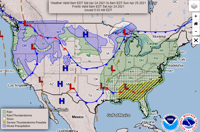
The cooler weather is making way for more spring-like conditions. A cold front moving out of the Rockies will be pushing across the Southern Plains, which will draw moisture from the Gulf of Mexico, creating widespread thunderstorm activity from Texas and Oklahoma to the Lower Mississippi Valley today, and through the Southeast into the weekend.
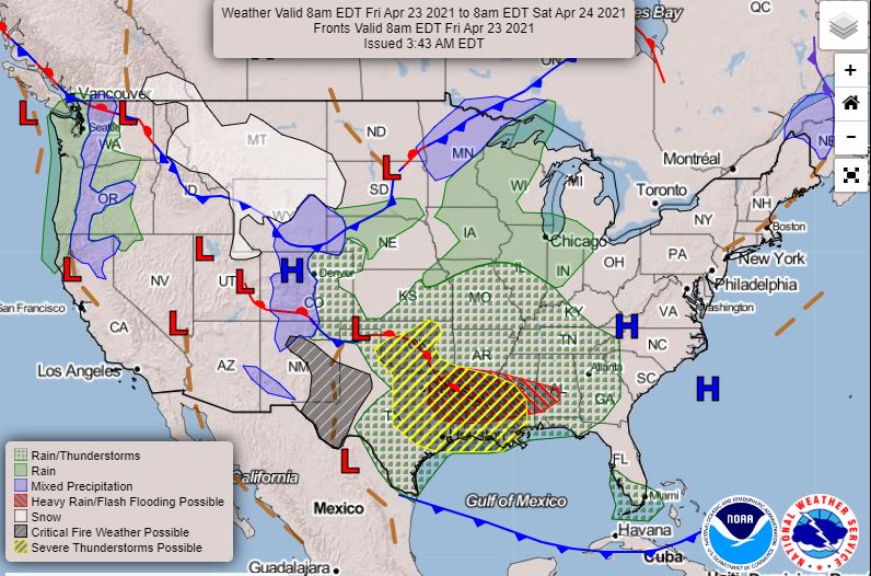
Cities in the storm path today include Tulsa and Oklahoma City, Dallas, Austin, Houston, Shreveport, New Orleans and Jackson, Miss. For Saturday, it's Mobile, Birmingham, Pensacola, Tallahassee, Atlanta, Savanah and Charleston.
In addition, critical fire weather conditions are expected to continue from the Southwest into the Southern High Plains today.
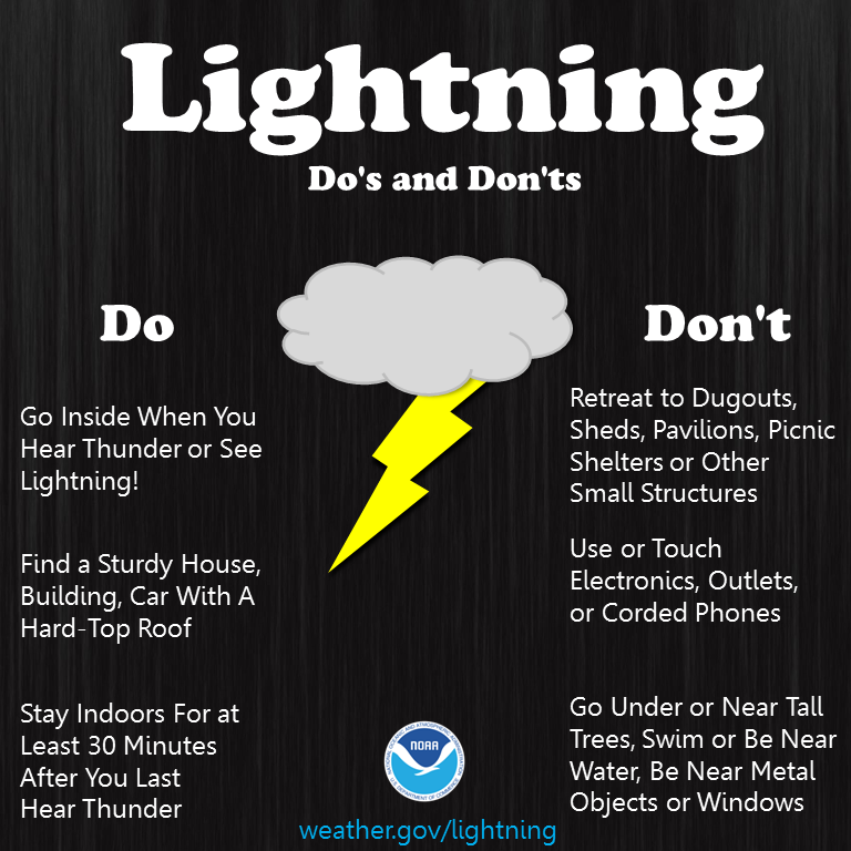
And remember, if you can hear thunder, you're within reach of a lightning strike, so find shelter immediately if you're outside.