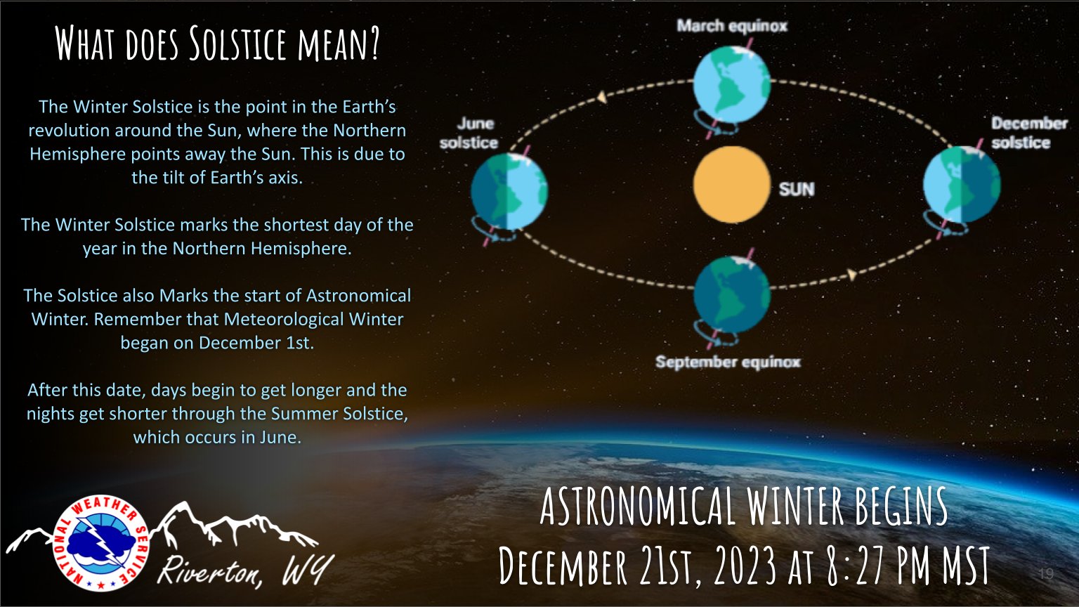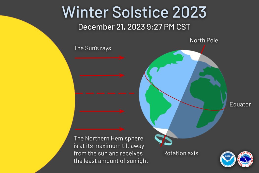
As winter officially gets underway, and you're not a fan, one positive is - the days will slowly start getting longer.
Here's the official Christmas weekend forecast from the National Weather Service:
Meteorologists at the National Weather Service may be dreaming of a white Christmas, but they’re not forecasting one for most of the United States. At least the weather is favorable for most people who have plans to travel this year! Here’s the day-by-day breakdown of what to expect.
Thursday: smooth sailing for most
For most of the country, the weather will be quiet and mild on Thursday. If you can hit the road early, Thursday is the day to do it! The one exception is in Southern California, where flash flooding is possible. Debris flows may form in areas where wildfires have left burn scars. Get more information on local hazards from NWS Western Region here.
Friday: rain & snow in the west, mild in the east
Rain chances persist in Southern California on Friday, and the weather turns unsettled from Arizona to the Intermountain West, with snow possible at high elevations in the Four Corners region and Pacific Northwest. Farther east, thunderstorms are possible along the Gulf Coast, especially in eastern Texas. Meanwhile, it remains dry and milder than average from the Northern Plains to the East Coast.
Saturday: storm chances increase
Wet weather continues to spread eastward on Saturday. Wet roads could slow down travelers along the Gulf Coast. Snow chances increase in the Rockies, with rain at lower elevations. But it’ll start to dry out along the West Coast, and it keeps getting milder from the East Coast to the Upper Plains, with some high temperatures reaching 20° above average. The best chance for accumulating snow will be in Alaska, where a powerful storm system will bring wind-driven snow, even close to the coast. Meteorologists at the NWS office in Anchorage have already measured 70” of snow so far this season, making it the snowiest start to winter in Alaska’s largest city.
Sunday: some storms
Rain and thunderstorm chances continue in the Southern US and extend into the Great Plains and Midwest on Christmas Eve. Puerto Rico and the US Virgin Islands are likely to see some showers, too. Accumulating snow is possible in the Front Range of the Rockies and the Northern High Plains. Mount Rushmore could have a coating of snow. But the best chance for a White Christmas by far is in Alaska. Anchorage’s record snow depth on Christmas Day is 30”, which was set back in 1994, and this year’s snow depth could be close to the record! - NOAA